Mödling Circular Hiking Trail 448

Hiking tour Starting from St. Othmar Parish Church
Hike and explore the beautiful sides of the district of Mödling!
Hike and explore the beautiful sides of the district of Mödling!
The Mödling circular walk 448 offers a beautiful hike around the district of Mödling. See exciting sights such as the Hussar Temple, Schutzhaus Eisernes Tor, the Kaiser Franz Josef Museum and much more.
Hiking boots or sturdy shoes, drinks, energy bars
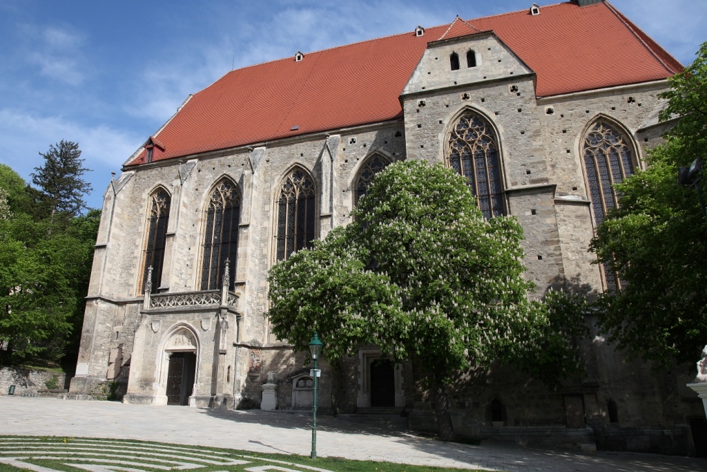
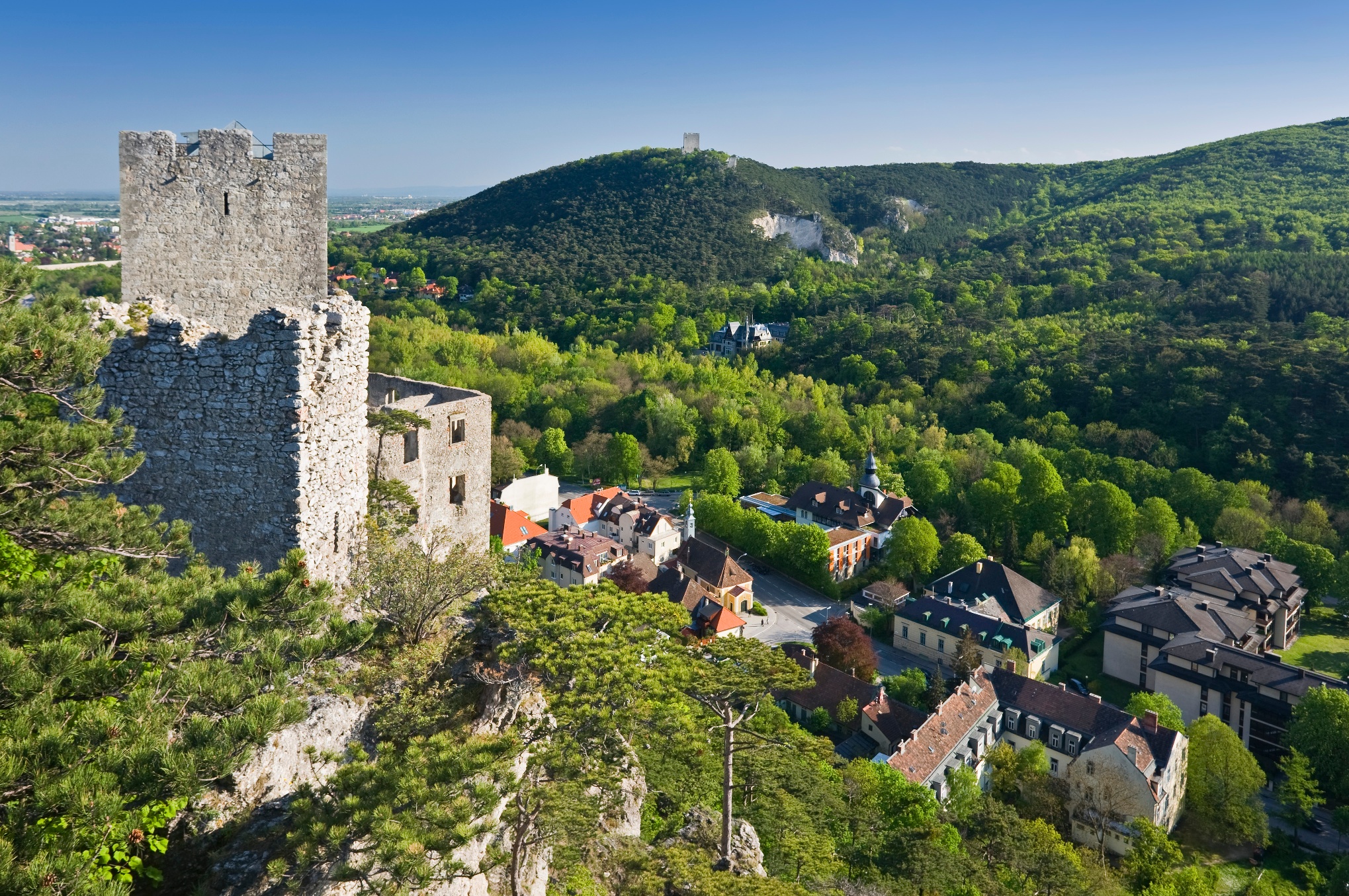
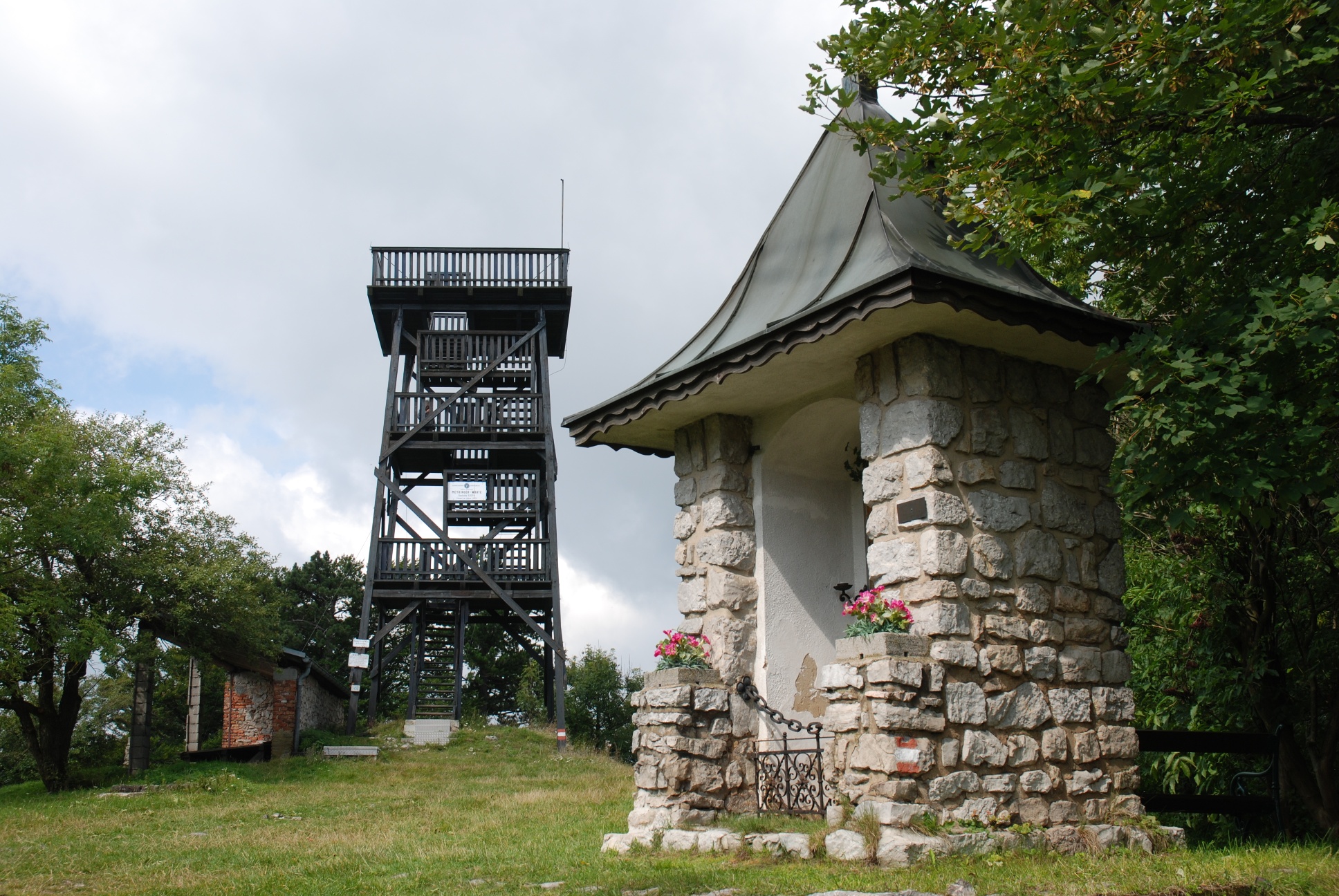
Our long-distance hiking trail begins at the St. Othmar Parish Church. Just past the church, the red-white-red trail marker 448 begins, leading to the Kalenderweg. Following this trail, we arrive at a large parking lot near the Liechtenstein Fortress. After crossing Johannesstraße (note: state highway) at the Urlauberkreuz intersection, we turn left shortly afterward (red trail marker) onto Fürstenweg, which takes us to the entrance to the town of Gießhübl at Hagenauertal-Straße. A glance to the south reveals the Husarentempel and the Sittner-Warte. At the end of Hagenauertal-Straße, we turn right, follow the red markers under the highway overpass, and emerge onto Gießhübler Hauptstraße, which we follow uphill. Passing the parish church on the left, we continue to the parking lot at the Gießhübler Heide. We have now reached an elevation of 460 meters and, from here, follow the red markers along the Hochstraße to the Seewiese Inn. We continue hiking along the Hochstraße and eventually reach the point where our long-distance trail diverges from Long-Distance Trail 401. We now keep to the left as we ascend to the Höllenstein shelter, which is located at an elevation of 645 m. From here, on clear days, hikers are treated to a particularly magnificent view of the Schneeberg and its surroundings. We must now retrace part of the ascent path and then branch off to the left onto the red markings of Trail 43. Shortly afterward, we return to the Hochstraße, along which we reach the Josef Schöffel hut after passing the Kreuzsattel. Following the old green trail markers, we head toward the Sulzer Höhe, and from there we descend, following the blue trail markers, to Sulz in the Vienna Woods. After retracing our steps a short distance and then turning right, we reach the main road at the Postschänke inn, which we follow—turning right again—for a short distance to the next curve. From there, we continue hiking toward Buchelbach. Here, we follow the red trail markers until we reach the village of Buchelbach after about 1 hour of walking. We follow the road briefly northward and then turn left onto the Münichbachtal forest road. Following the red trail markers, it’s about another hour to Weidenbach (elevation 440 m). At the trail junction here, pay special attention to the trail markers. We then descend into the Hainbach Valley via the Hainbach forest road. During the descent, the Schöpfl—the highest peak in the Vienna Woods—offers a magnificent view. After about 1 hour of hiking, we arrive in the village of Klausen Leopoldsdorf. We cross the Schwechat River via a small pedestrian bridge and then turn right at the fire station. We pass under the highway and reach the Großkrottenbach Valley at Weiler-Dörfl, which we follow southward. Through unspoiled forests, we cross the watershed and descend into the Reutelgraben. To the south, we catch sight of the Hocheck. The walking time from Klausen-Leopoldsdorf is 2 hours and 30 minutes. We are now in Kleinmariazell. We recommend visiting the historic monastery church in Kleinmariazell. We then follow the road south and subsequently the Hainfeld federal highway briefly west to the train station in Atenmarkt-Thenneberg. Looking east, we see the cliffs of the Peilstein and the pilgrimage church on the Hafnerberg. We follow the blue trail markers westward alongside the railroad tracks, and after crossing the tracks in Dornau, we turn south again. Soon, the ascent to the highest point of our hike, the Hocheck, will begin. The markings for Long-Distance Hiking Trail 404 also accompany us along this route. We must now retrace our steps for 20 minutes along the ascent path and, at the fork in the trail (yellow and red markings), turn right toward Eberbach. At the next fork in the trail, we continue to the right, following the red markings, until we reach the village of Eberbach in the valley. At the stream bridge in Eberbach, we turn left and walk along the stream out of the valley until we cross the railroad tracks and the Triesting River. Shortly afterward, we reach the Hainfeld federal highway. In 20 minutes, we arrive in Weissenbach/Tr. Opposite the Weissenbach-Neuhaus train station, we turn left and hike through Dr. Suess Street into the forest. After about 0.5 hours, we reach the village of Neuhaus. Following the road toward Schwarzensee for a short distance, we turn onto the red trail markers across the Hutweide pasture toward Peilstein. The 6th checkpoint is located at the shelter on the Peilstein (elevation 716 m). The walking time from Weissenbach-Neuhaus is about 1.30 hours. After walking back a short distance, we descend along the Judith Krämer Trail to Schwarzensee (elevation 530 m) and continue on to Zobelhof. Following the red trail marker 404, we begin the ascent to the Hoher Lindkogel. Continuing to follow the red trail marker 404, we reach a fork in the trail after about 45 minutes, where we follow the sign for Bad Vöslau. Shortly afterward, we come across yellow trail markers. At the next fork, we follow the sign for the Vöslauer hut. From here, we hike downhill following the blue trail markers and arrive at the Waldandacht Inn after about 45 minutes. There, we turn left onto the red trail markers toward Jägerhaus, and after a short climb, we see the so-called Lausturm on our right. Here, we’re also accompanied by the red marker for the Beethoven Hiking Trail (No. 40). After briefly leaving the forest, we keep to the left at a water tank and hike uphill along Weingartenstraße. To our right, we can see the well-known wine village of Sooß. After a 1-hour walk from Waldandacht, we reach the former Jägerhaus inn. We hike between the Jägerhaus and the adjacent forest ranger’s house, continuing to follow the red trail marker 40, and after a short descent, we keep to the right (red 40) toward Rauhenstein. We hike eastward along a high-altitude trail, frequently crossing a forest road, and descend into the Helenental valley. From the valley floor, we see the Rauheneck ruins to our right. As we emerge from the valley, passing an abandoned quarry on our right, we reach the first houses of Baden. We cross the Schwechat River on a wooden bridge and can already see the Rauhenstein ruins across the river. At the Hotel Sacher in Baden, we cross Helenentalstraße, turn right at the small chapel, and reach the Rauhenstein ruins via red- and green-marked trails. A visit to the ruins is highly recommended. At the next trail junction, we follow the red trail markers 40 and 404 and turn right onto a scenic high-altitude trail, high above the Helenental Valley, continuing toward Baden. Along the way, near a memorial cross, there’s a beautiful view of the Rauhenstein and Rauheneck ruins. All the green-marked trails branching off to the right from this high-altitude trail lead into the Helenental valley and are not part of our hike.We continue along the red-marked trails 40 and 404 and arrive at Faberhöhe. Shortly thereafter, we keep to the right at a pavilion and descend to the Emperor Franz Josef Museum. We then continue downhill on the forest road and take the next right turn, following the red markings again. After passing a rock grotto, a paved path with a railing begins; it leads into a forest road and continues to the Raimund Lookout. At the next trail junction, we turn toward the green markings in the direction of Rudolfshof and Prokschhütte. Shortly thereafter, we reach the Baden Alpine Zoo. There, we turn right once more and, following the red trail markers, pass the Mauthner Pavilion, leave the Rudolfshof on our left, and descend into the Einöde. At the bottom of the valley, we continue to follow the red trail markers for Route 404, cross Einödstraße, pass the abandoned Zur Einöde inn, and immediately turn right to continue on Route 404. Now our final long ascent begins, past the Einöd Caves (entry to the caves is only permitted with appropriate equipment) to the Prokschhütte at 541 m above sea level. From the Prokschhütte, we descend toward the Anninger Schutzhaus along the green and later red trail 42, ignoring the turnoff to the Einöde. From here, we walk downhill along the Anninger forest road, pass the Zur Krausten Linde rest stop, and at the Breite Föhre, continue straight ahead over the Goldene Stiege down to Mödling, where we have reached the final destination of our hike.
Since this tour is very long, it is recommended that you split it into two stages. Places to stay:
Leider können wir Ihnen zum jetzigen Zeitpunkt keine Wetterdaten für den Ort anzeigen.
City Management Mödling GmbH
Kaiserin Elisabeth Straße 2, 2340 Mödling
Tel.: 02236/400 125
Letzte Änderung: 4 Aug 2026