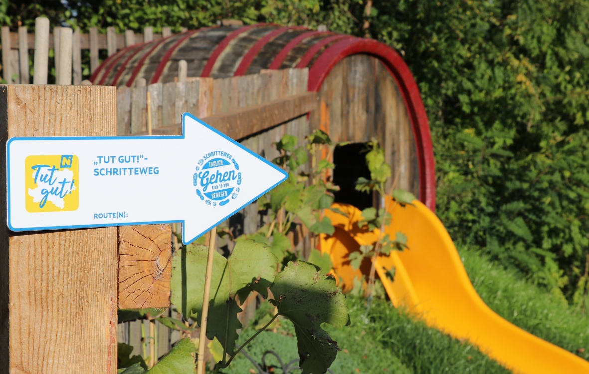
"It Feels Good!" Kaltenleutgeben Walking Trail

A leisurely break along Kaltenleutgeben
A leisurely break along Kaltenleutgeben
Our common goal is to encourage you as a citizen of the municipality to get more exercise in your everyday life. Because this is how you can do something sustainable for your own health. The "Tut gut!" walking routes created by "Tut gut!" are ideal for increasing your personal step account easily, quickly and effortlessly every day.
©"Tut gut!"
The map for this step path can be downloaded here.
sturdy shoes, rain jacket, something to drink
Town Hall – Eiswiese – up toward Rebekkaquelle – left through the forest – to Kaltbrunn – Berggasse – Promenade – back to the Town Hall
This route is the perfect way to wrap up a walk in nature. Along the way is the Kaltenleutgebener Hof—Mein Dorfwirt, which serves classic Austrian cuisine.
Leider können wir Ihnen zum jetzigen Zeitpunkt keine Wetterdaten für den Ort anzeigen.
“Feels Good!” Health Care GmbH
Purkersdorfer Straße 8/1/5, 3100 St. Pölten
Wienerwald Tourismus GmbH
Hauptplatz 11, 3002 Purkersdorf
Tel.: 02231/ 62176
Letzte Änderung: 4 Aug 2026